

East Fork Part iV
 A tall Chaparral Yucca in San Gabriel Canyon, 1937. Credit: LAPL
Mining activity in the East Fork began in the 1840’s and continued intermittently into the 20th century. However, new land restrictions and designations would eventually contribute to the decline of mining in the East Fork. Meanwhile, major roads were constructed into the canyon, resorts came and went, and new camps settled into what is now the present day East Fork.
1930s
Hooverville. The early 1930s saw an influx of a new generation of miners in the East Fork, as the Great Depression forced jobless men to try their hand at panning for gold. A new shantytown known as Hooverville (also known as Ragtown or Klondike) was established on the old site of Eldoradoville. The settlement reached a population of hundreds, consisting of miners and their families living in tattered tents and crude log shacks.
 Squatters camped out in San Gabriel Canyon during the Depression. Credit: LAPL
 Gold miners panning for gold, San Gabriel Canyon, 1932. Credit: LA Times
Not much gold was recovered from panning which proved to be time consuming for yielding in only a few dollars a day if anything at all. Miners quickly became frustrated and left the canyon discouraged. Eventually, the catastrophic floods in 1938 washed away Hooverville and its encampments with it. Since then, looking for gold in the canyon has become more of a recreational activity than a realistic way to line one’s pockets.
The Los Angeles flood of 1938 was one of the largest of its kind in the history of Los Angeles. Between February and March 1938, two pacific storms swept across the Los Angeles Basin and totaled about one year’s worth of precipitation in just a few days. Rivers burst their banks, inundating much of the surrounding valleys. The deadly flood caused 115 fatalities, 1.7 billion dollars in damages, with 5,601 buildings destroyed and a thousand properties damaged. Countless communities were buried with no access to transportation or means of communication.
 Flooded San Gabriel River looking northwest in Azusa, 1938. Credit: USC
 Example of some of the destruction during the 1938 flood. Credit: LAPL
New Highways
While San Gabriel Canyon Road (State Route 39) was under construction in the main canyon, two major roads were being added into the East Fork.
The Glendora Mountain Road, completed in 1931, leaves the East Fork at Cattle Canyon where it climbs up a ridge and then splits, the left fork going to Mount Baldy Road in San Antonio Canyon, the right down to Glendora.
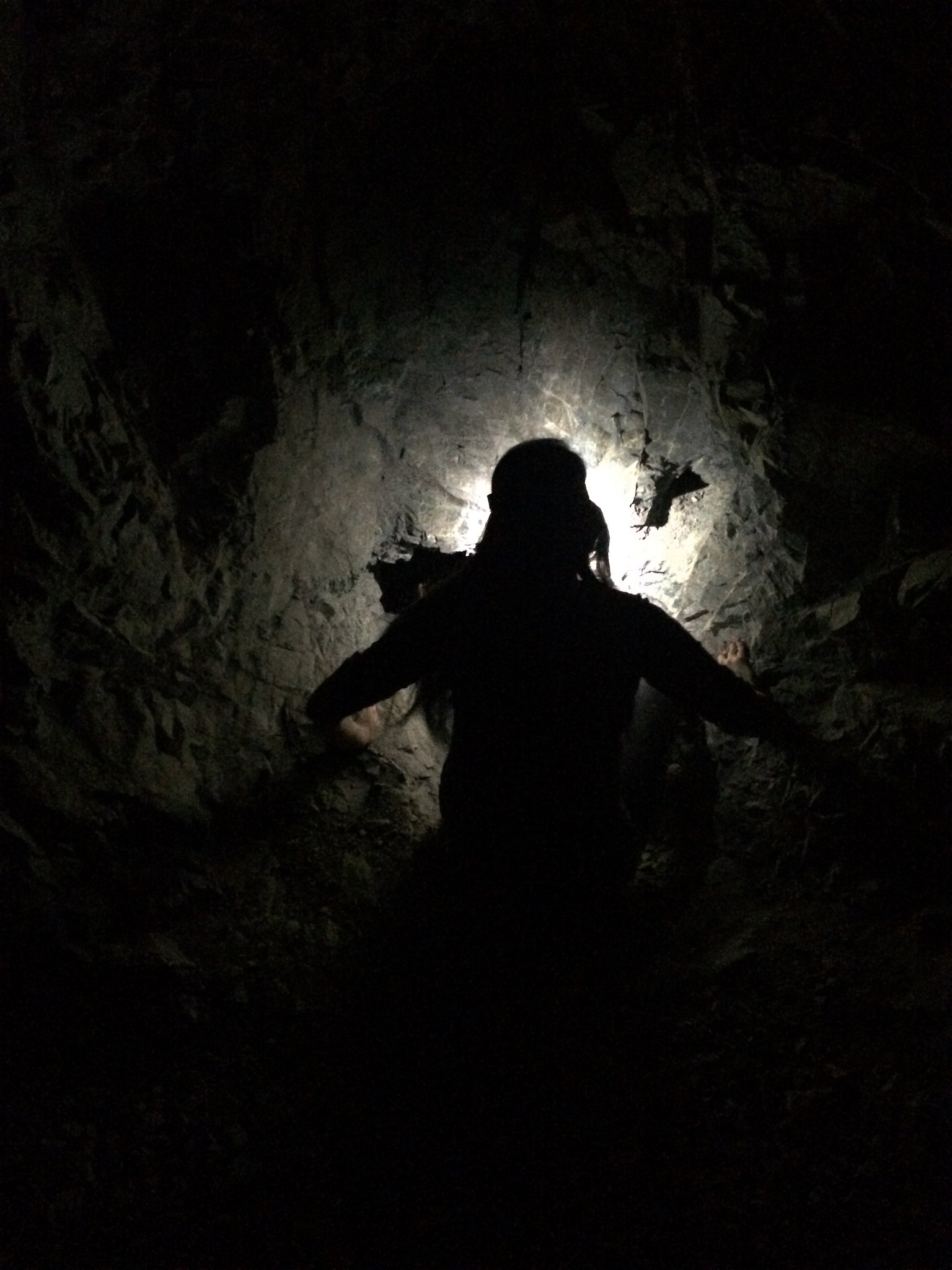
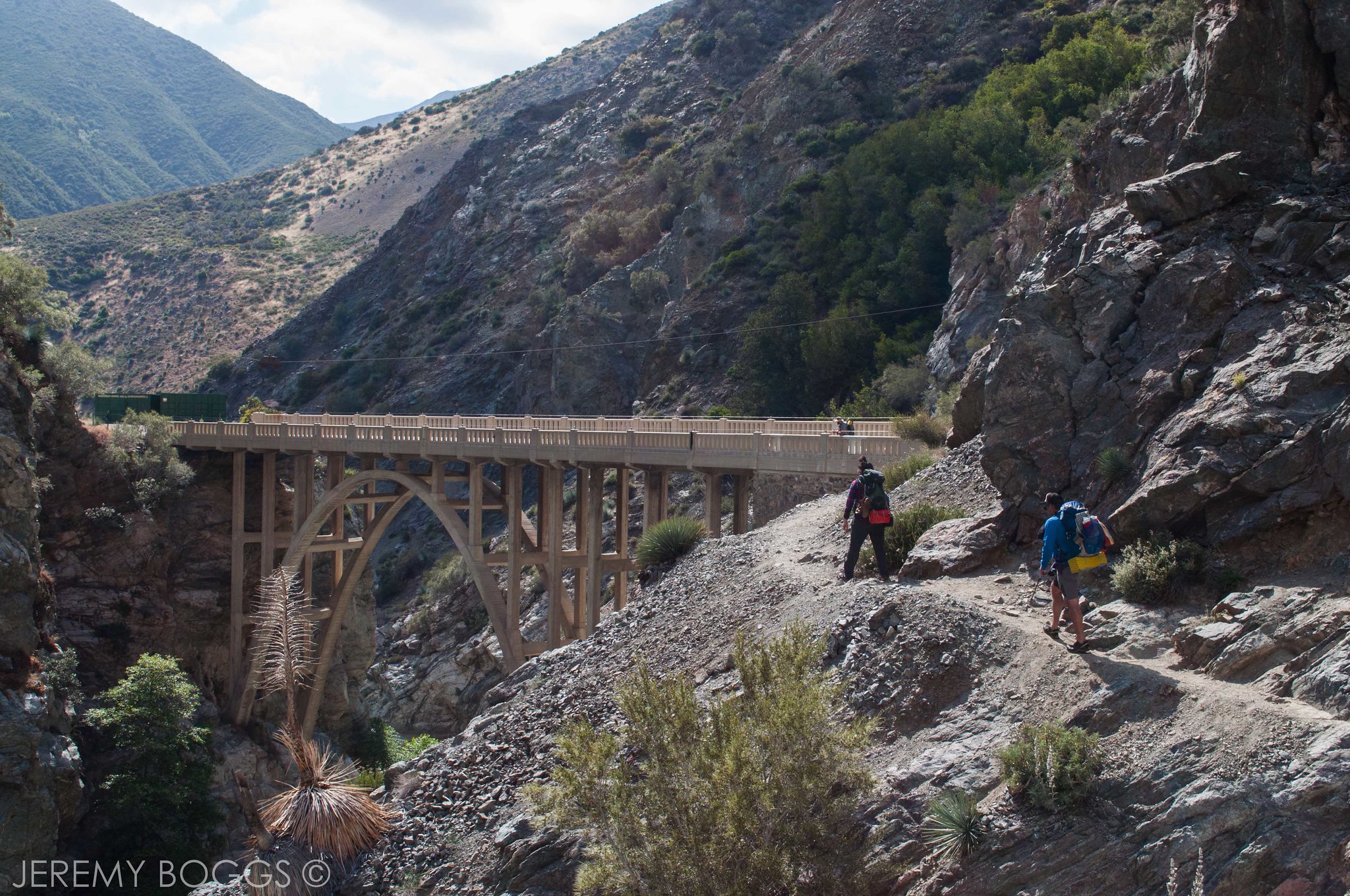
East Fork Highway. The second roadway proposed by the County was the East Fork Highway (also called the Camp Bonita-Prairie Forks Road), to follow the East Fork from Camp Bonita on Cattle Canyon and extend all the way to its head and over to Wrightwood. County prison crews began to grind out the road in 1929, forging a paved highway adjacent to the riverbed. The road progressed for miles all the way until reaching the Narrows—the deepest gorge in Southern California. Here, a concrete arch bridge was erected to traverse the narrows and a tunnel excavated through the mountainside.
 A sign posted at San Gabriel Canyon displays the proposed route. Credit: LAPL
Unfortunately, the Los Angeles flood of 1938 obliterated the East Fork Highway, destroying five miles of road. Only the newly built bridge was high enough to survive the floods. The County abandoned this highway project but left the bridge standing alone in the middle of the wilderness. Since 1938, the “Bridge to Nowhere” has become a popular destination for hikers.
 In 1964 the Boy Scouts erected a marker on the Bridge to Nowhere.
 Sign says the bridge cost $19,418 to build. Credit: Sierra Club-Angeles Chapter
 The Bridge to Nowhere as it stands today.
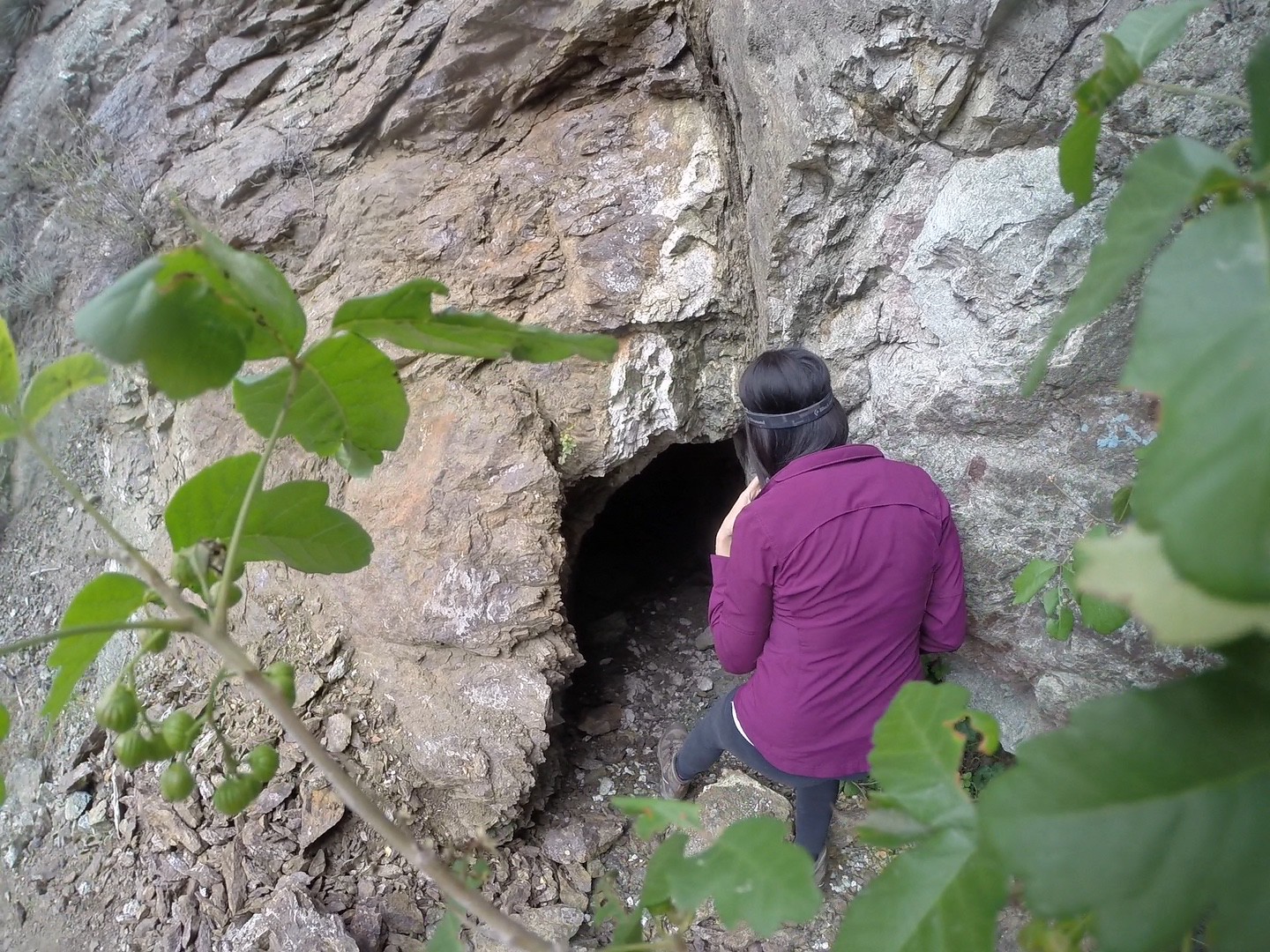
Shoemaker Canyon Road. In the 1950s, the County decided on another attempt of a road up the East Fork, but this time higher in the canyon. Shoemaker Canyon was named after gold miner Alonzo Shoemaker who had a claim nearby in the 1800s. The events of the Cold War were unfolding with the Soviet Union, creating paranoia of a possible nuclear attack. The 25-mile highway was proposed as an escape route that would connect Los Angeles to the Mojave Desert. Work on Shoemaker Canyon Road started in 1956 with the help of inmate labor from the nearby Detention Camp #14. However, by 1969 the inmates only had four miles of road completed before the project was dropped in 1969. By then, budget cuts and conservation concerns halted work on “Convict Road.” By 1984 the area was granted Wilderness status. Today the abandoned “Road to Nowhere” with its two vintage tunnels endures as a relic of the unsettling past.
 Tunnel at Shoemaker Canyon Rd (George Rose/LA Times)
 1961 marker at Shoemaker Canyon Rd (George Rose/LA Times)
Modern Day East Fork
The East Fork has undergone major changes since its mining days. Developed areas west to east include Burro Canyon Shooting Park, Julius Klein Conservation Camp #19, the abandoned Follows Camp, River Community, Camp Williams Resort and Oaks picnic area. The East Fork Road leaves Highway 39 and ends near Heaton Flats, the gateway into the wilderness by foot.
 Overview of modern developments on the East Fork
Burro Canyon Shooting Park. In 1993, the forest service granted a conditional use permit for the opening of Burro Canyon Shooting Park. It serves the general public as well as private organizations and training for local law enforcement.
Julius Klein Conservation Camp #19. The Mountain View area eventually became Camp Oak Grove in the 1950s and served as a County probation camp for boys. In 1986, it became Julius Klein Conservation Camp #19, a collaboration between the county fire department and the state corrections department.
 Fire Camp #19
In the 1870s, during the East Fork’s brief hydraulic mining era, the prosperous Los Angeles merchant, William G. Ferguson purchased his claim just downstream from Follows Camp. The Fergusons enjoyed their private retreat for a long time. After War World II, it was briefly a religious retreat called “Beulah Land”. In the 1950s, it was bought out to be Shady Oaks Camp, with a store and picnic area. Eventually it was consolidated into Follows Camp.
Part of the Henry Robert’s Graham and Cecil Placer became Detention Camp #14, a Sheriff’s Department detention camp that housed prison crews to help with fire fighting and road building. This camp helped build the Shoemaker Canyon Road from 1954-1969. It has since been razed and the area was incorporated into Follows Camp.
Follows Camp is located three miles up the East Fork on a broad bench south of the river. In 1891 a frail Ralph Follows came to the San Gabriel Canyon from England in hopes of improving his failing health. He had tuberculoses and only weighed 90 pounds when he came on a stretcher with the help of his brother Jack. They rented a cabin in the old Roberts-Ferguson mining camp. His health improved right away and he decided to buy up the property for a resort business. By 1897, Ralph Follows married Jane Heaton, daughter of William T. Heaton (a veteran miner who settled in Heaton Flats) and together they built an empire out of their camp resort. It was their warm hospitality that popularized this camp, aside from the home-cooked meals, good fishing, and scenery that attracted thousands. Ralph Follows was a man who “could do more things at one time and well than anyone who ever lived in the canyon.” Their resort was backed by high-profilers of the day. The famous Follows four-horse stage carried guests from the Santa Fe station in Azusa to his resort in the East Fork. The twelve mile canyon ride was torturous involving many crossings and road washouts. Follows camp could accommodate as many as 200 guests in all their tents and cabins. The maintenance of the canyon road was always a major headache for Ralph Follows, needing to appeal to the city of Azusa for help. However, when the canyon road was finally built in 1925, the early automobile made the trip to Follows Camp “too easy” and its romance died. Ralph was killed in 1925 when his new touring car overturned in Redlands. After he passed away, his wife continued operating the camp. By that time, the resort continued to decline due to the Great Depression and damages from the 1938 flood.
 Follows Camp, 1910. Credit: CA State Library
 Stage Route to Follows Camp. Courtesy of the Workman and Temple Family Homestead Museum, City of Industry, CA
 Horse-drawn wagon in Follows Camp, 1915 Credit: CA State Library
In 1945, a Heaton relative, Sedley Peck and his wife Dolores “Flo Flo” Peck, purchased the property and restored the mountain resort, adding a restaurant, store and a museum that displayed East Fork mining memorabilia.
Former Beverly Hills police officer and Newport Beach car salesman Joe Davison visited Follows Camp to pan for gold in the 1970s. He fell in love with the place so he acquired the original Follows Camp from Flo Flo Peck who continued to live on the property and helped cook in the restaurant. Joe would later buy out the old Ferguson property and several other private parcels of land that make up the 110 acres of Follows Camp today. It became a community with cabins, mobile homes and camping sites. There was a chapel, a restaurant called the Fort, and the museum. Joe ran the camp for nearly three decades until his death in 2002.
 Entrance sign. Photo from Follows Camp Memories
 The camp pre-flooding. Photo from Follows Camp Memories
 The Fort Restaurant. Photo from Follows Camp Memories
 Inside the Fort during its heyday. Photo from Follows Camp Memories
 Sedley Peck museum. Photo from Follows Camp Memories
The property stayed within the family until 2005, when heavy rains flooded out the community, washing out bridges and destroying buildings. Aid was flown to the flood victims who were left stranded without food or medical aid. Not surprisingly, many of its residents left after the flood.
 Aerial view of collapsed main bridge. Photo from Follows Camp Memories
 Helicopter flies into camp with aid. Photo from Follows Camp Memories
 The Fort as it looked in 2016
Title of the land was sold around to private investors and the remaining residents were forced out considering the damages caused by the flood.The surviving structures were deemed a fire hazard. In 2011, the City of Industry bought all of Follows camp for $5.25 million with the intention of developing it into a recreational retreat for youth. Industry failed to obtain permits for what construction they did, resulting in a $5.8 million dollar fine by the Regional Water Quality Control Board. The city heavily damaged the area after it allowed unauthorized dredge and fill activities into the East Fork. A settlement was reached requiring the city to pay a fine of $2.5 million and a suspension of the remaining $2.5-million for construction of a storm water collection and treatment system. As of 2024, the City of Industry is still in the process of developing Follows Camp. It’s carrying out the ‘Follows Camp Ecological Design and Implementation Project’ to develop restoration design plans and initiate environmental education programs for the city owned land.
River Community. Social Model Recovery Systems established a rehabilitation center just upstream of Follows Camp in 1986, to care for individuals grappling with co-occurring mental health and substance use disorders. It is a 39 bed facility and serves as a long term residential treatment program.
Camp Williams Resort. Adjacent to Follows camp was Williams Camp, founded by Jim Williams in 1913. Williams became known throughout the canyon for his home brew during the prohibition era, keeping his camp well attended during the 1920s and into the 1930s. Jim Williams, however, did not have his heart in his resort. He was more involved with his mining ventures, which included a tin mine up nearby Horse Canyon.The old camp was transformed and expanded through the decades with various owners. It was turned into a campground, trailer park, picnic area, store and restaurant. A mobile home park was put in above the highway. Today it is known as Camp Williams Resort
 Camp Williams today
Oaks Picnic Area is a very popular access area to the river and a common meet up point for groups. It also sees the most trash. Plans are possibly underway to improve accessibility to the river at multiple points, increase amenities such as bathrooms and trash cans and to add parking spaces.
Sheep Mountain Wilderness. In 1984, the 44,000 acre Sheep Mountain Wilderness was set aside within the San Gabriel Mountains. The commitment of wilderness designation protected by law stemmed from saving some of the country’s last wild places.
 Sheep Mountain Wilderness sign. Credit: Modern Hiker
National Monument. In 2014 President Barack Obama established 346,177 acres of national forest land in the San Gabriel Mountains as a national monument. A national monument is a designation given to a protected area of federal land in order to recognize and protect the area’s important geological, ecological, historic, and scientific resources. The Sheep Mountain Wilderness lies within the San Gabriel Mountains National Monument.
Bungee America. The Bridge to Nowhere currently lies in a 50-acre private inholding, once owned by the Saunders family who ran the Horseshoe Mine. The County paid an easement to the Saunders to build the bridge on their property in the 1930s and after the flood, the bridge was abandoned. The Saunders descendants leased the land to Ron Jones beginning in the early 1990s so he could operate Bungee America. Jones later bought the 50 acres in 2009 for upwards of around $240,000. There remains some controversy over whether the bridge itself is considered private property. Moreover, its use remains a point of contention among hikers who support a wilderness approach, consistent with the surrounding area. Bungee jumping carries on and tours are every weekend.
Mining Today. Most of San Gabriel Canyon was withdrawn from mineral entry by the Los Angeles Watershed Withdrawal Act of 1928 to conserve water resources and to encourage reforestation of the watershed of Los Angeles County. More protections for mining entries were added with the establishment of the Sheep Mountain Wilderness in 1984 and the 2014 national monument status. Technically, all mining activities are prohibited but recreational panning and sluicing still take place in the East Fork as this activity is loosely enforced.
 People at East Fork, 2013. Photo by San Gabriel Valley Tribune
Today, San Gabriel Canyon is easily – perhaps too easily – accessible. Weekends see lines of vehicles crowd the highway. Traffic accidents, vandalism and pollution have harmed the once idyllic canyon. Upcoming proposed projects for improvement appear be promising. These updates can potentially facilitate changes to traffic, overcrowding and trash.
Dedicated volunteer organizations provide a glimmer of hope in cleaning up the river. Groups like Canyon City Environmental Project and East Fork’s Golden Preservation help counteract the devastating impacts left by careless visitors. Nevertheless, only a shift in mindset towards protecting what we love will help pave the pathway for a cleaner East Fork.