
Mount Gleason Mining
 Early activity on Mount Gleason circa 1899
The long, forested shoulder of Mount Gleason lies in the western high country of the San Gabriel Mountains. It’s summit commands a magnificent panorama of the Antelope Valley and the Mojave Desert.
 Timber near Mt. Gleason. Credit: University of California, Berkeley.
The mountain is steeped in history. Mount Gleason was named by Army surveyors in 1875 for George Gleason, a mine superintendent and the first postmaster of Ravenna (an 1860s mining camp in Soledad Canyon). Seeking timber to shore up his mine, Gleason built the first rough road up the slopes of the mountain that now bears his name and discovered gold high on the slope (1869).
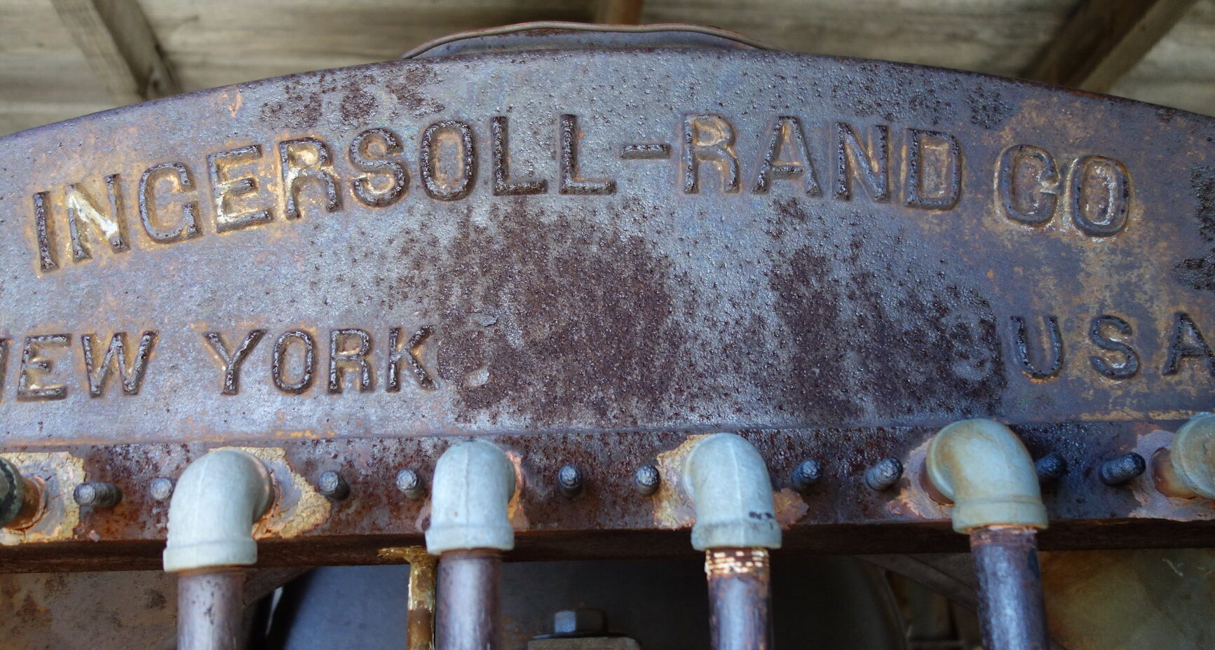
Word spread about the discovery of gold and so miners hurried up the mountain, the Mount Gleason mining district was organized, and gold bearing ore was recovered and hauled down logging roads. However, not enough gold was there to produce profitable large scale mining. Nevertheless, digging continued for many years. The most active period was between 1888 and 1896. There are a number of small lode-gold deposits, the principal ones having been the Los Padre and Mount Gleason mines, both about 6000 feet high on the north slope. All have been idle for many years.
 Gold Mill on Mt. Gleason. Credit: Overland Monthly and Out West Magazine, 1899
 An outdoor gold mill, Mount Gleason. Credit: Overland Monthly and Out West Magazine, 1899
According to John W. Robinson: “The Lost Padre was developed with a 200-foot tunnel and a shaft 81 feet deep. The Mount Gleason possessed four tunnels, the longest of which reached 400 feet into the mountain, and a 5-stamp mill powered by steam. Another north slope mine was the Eagle, developed in 1894 with two 50-foot tunnels and a 5-stamp mill. The Eagle’s steam mill blew up in 1896, causing work to be suspended for several years. On the southeast slope of the mountain, high above the north fork of Mill Creek, were the Kelly Brothers’ Mines, developed by three 60-foot tunnels. Over on the east ridge above Aliso Canyon were the Casa Grande Mines, consisting in 1889 of the Golden Bullion, Log Cabin, and Old Town. Other eastern ridge diggings were the Peabody and West mines -consisting of the Gold Ribbon, King of Gleason, Silent Friend and White Cloud, the Peerless mine and the Champion mine. By the end of 1896, most of these small mines had ceased operations. There was gold on Mt. Gleason, but just not enough.”
 Mount Gleason history hike led by John Robinson, 1983. Credit: Sierra Club Angeles Chapter Archives.
 Mount Gleason history hike led by John Robinson, 1983. Credit: Sierra Club Angeles Chapter Archives.
Present Day Mt. Gleason
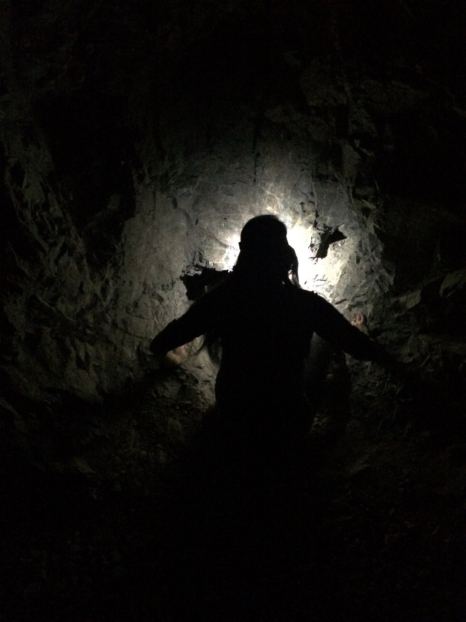
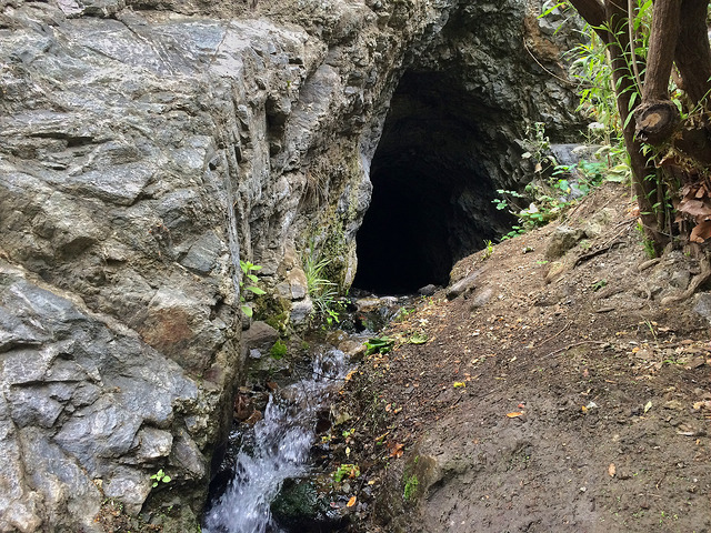
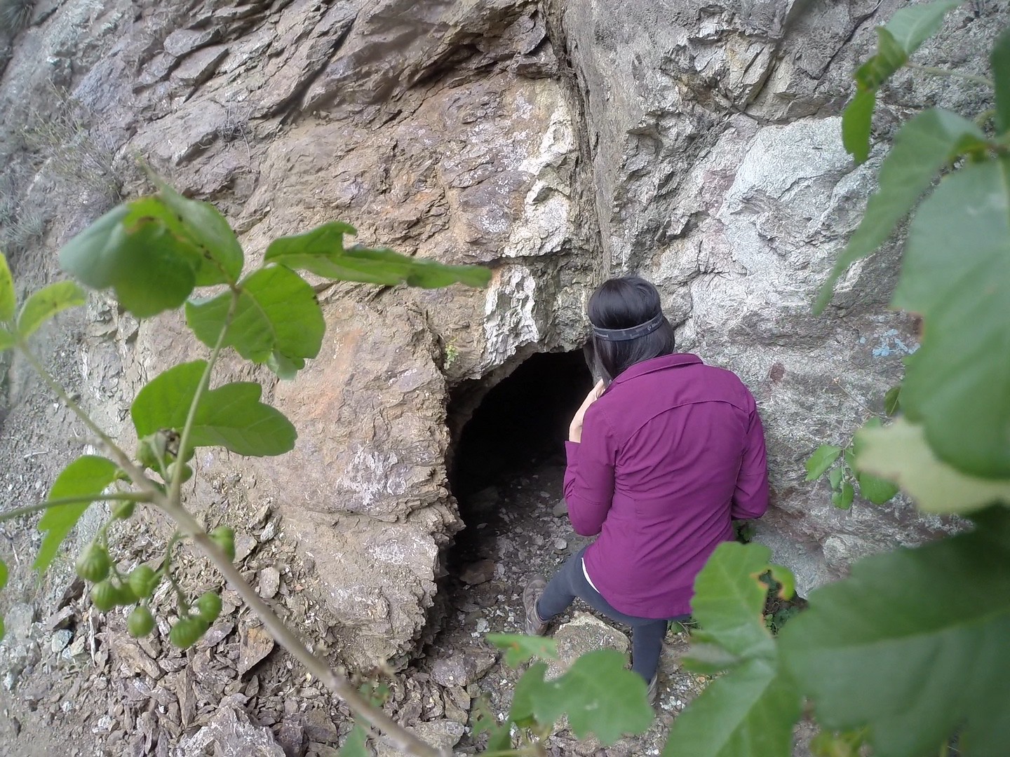
Access to Mount Gleason is by Forest Service Road 3N17 (Santa Clara Divide Rd), a narrow two-lane winding paved road from Angeles Forest Highway. At about 6 miles, is the LA-04 Nike missile site/former fire Camp 16. The summit of Mt. Gleason (where the former fire lookout and Nike Radar Control was located) is another 1.5 miles directly west of Camp 16. The PCT on the north side of Mount Gleason intersects an old dirt road old into the canyon below, where the remnants of several major gold mines still stood. The land is still privately held but its not clear if there is presently any mining.
The Mt. Gleason Road 3N17 was closed to vehicular traffic for more than a decade after the 2009 Station Fire to allow for post-fire forest recovery and demolition of any remaining fire hazard structures. In 2021 it was reopened to motorized traffic, subject to fire conditions. It’s unclear if it stays open all year round.
 The hogback of Mount Gleason
References
*Report of State Mineralogist (Vol. 8, 9, 11, 12, 13, 15)
* California Journal of Mines and Geology (1934 & 1954)
* The San Gabriels by John W. Robinson, 1991
* Mount Gleason Mine by Hugh W. Blanchard
* The Mount Gleason and Padre Mines by Forgotten Mining History
* CalTopo Map of the Gleason Mines
Check out the full album on Flickr: ![]()