

Los Pinetos Peak
Lookout
Agency: Angeles National Forest (Possibly co-operative with county)
Dates: 1935-1960s
Tower: NOTT10’- Non-battered, open timber tower, 10 feet high
Cab: C3-USFS Region 5 1934 standard 14′ X 14′ wood cab (BC-301 series)
Status: Demolished
Elevation: 3560 ft
Topo Map: USGS San Fernando
Coordinates: 34.3549, -118.4589
Trail reports: SummitPost, Peakbagger
Los Pinetos Peak is an unofficially named highpoint along the Santa Clara Divide Road in Newhall of the western San Gabriel Mountains. It’s also the name of the canyon that runs in the middle of Placerita Canyon State Park. Today, the summit contains radio and satellite towers.
In the 1930s, Los Pinetos was one of many fire lookouts operating in the Angeles National Forest. Built in 1934 by the U.S. Forest Service and the Los Angeles County Forestry Department, the lookout featured a circular, glass-enclosed tower measuring just twenty square feet. Notable staff included Lee Park in 1938 and Bill Nelson in 1958.
However, the lookout didn’t last very long as smog conditions became so acute it was no longer possible to spot fires. By the 1940s, firefighters abandoned the lookout and by 1964 only the concrete slab that held the lookout remained.
 Los Pinetos Peak presently
Aircraft Wreck
Aircraft: Boeing 247D
Registration: NC13315
Date: January 12, 1937
Operator: Western Air Express
Crash: Pilot Error
On January 12 1937, a Boeing 247D crashed into the north slope of Pinetos Peak near San Fernando due to adverse weather conditions, killing 5 out of 13 people onboard. The plane was on its way from Salt Lake City, Utah to Burbank on a stormy morning. Accident investigators determined that a combination of factors caused the crash including: turbulence, rain, ice build-up on the wings and the failure of the pilot to follow recommended procedures that would have enabled the captain to clear the mountainous area in San Fernando to land in Burbank. Captain William Lewis had descended and flown east of his intended course. The impact occurred as the aircraft’s left wing tip struck a mountain ridge and slid 125 feet before spinning around and halting to a stop.
 The Boeing 247D sitting near Los Pinetos Peak. Credit: Bureau of Aircraft Accidents Archives
 Credit: Bureau of Aircraft Accidents Archives
As a result of the crash, one man was killed instantly as his body was crushed between two seats, while the others were knocked unconscious. Most would survive but others would later succumb to their injuries.
Notable passengers on the plane included Martin and Osa Johnson, American adventurers and documentary filmmakers. Martin suffered extensive injuries including a cerebral concussion and fractures in his jaws, nose and both legs. Osa had a dead body over her and suffered from a fractured knee.
 Martin and Osa Johnson. Courtesy of Safari Museum
The impact of the aircraft was so loud, residents around town heard the crash, including at the nearby Dulin Ranch. Meanwhile, one of the passengers of the crash managed to crawl out of the wreck and make his way towards the Olive View Sanitarium about 4 miles away in order to get help. Several rescue parties of the hospital hiked to the peak where they found the victims had regained consciousness and were delirious from shock and pain. They were carried to the Los Pinetos fire lookout tower which was about 100 yards away. From there, rescuers carried out the victims in stretchers five miles down to a waiting ambulance.
Martin Johnson slipped into a coma at the hospital and would succumb to his injuries the next day. Three others, including the copilot would not survive their grave injuries.
 Rescuers helping out at the crash site of the Boeing 247D: Bureau of Aircraft Accidents Archives
 Credit: Chris Baird Collection
 Pilot with a broken leg guarding the plane mail. The LA Times, Jan 1937
 Map of SFV and SCV of recent crashes. The LA Times, Jan 1937
There is no remains of this aircraft wreckage as most of it was removed the same year. However, a few hikers claim to have found 1% of the aircraft a number of years ago.
Also check out these sources:
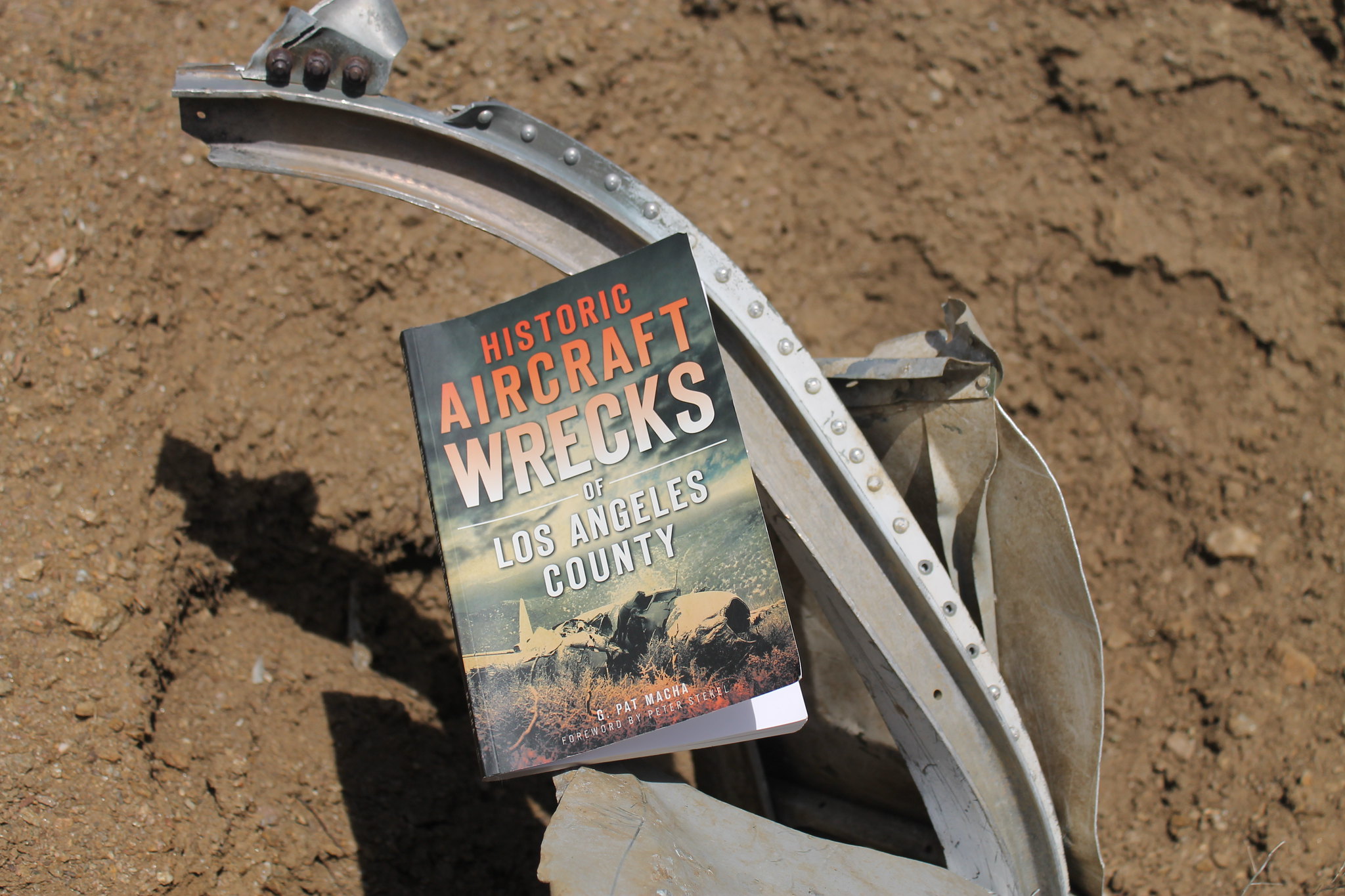
-Historic Aircraft Wrecks of Los Angeles County by G. Pat Macha
-They Married Adventure: The Wandering Lives of Martin and Osa Johnson by Pascal James Imperato and Eleanor M. Imperato
-SCV History: Boeing 247D Crash, 1937
-Bureau of Aircraft Accident Archives
Nike Site (LA-94)
Please read my detailed blog on Los Pinetos Nike Site (LA-94). This site is located 4 miles away from Los Pinetos Peak. The base played an integral role in the Nike system for the Los Angeles Defense Area from 1955 to 1968. It constitutes one of five Nike sites built in the 1950s in Angeles National Forest. The Angeles National Forest sites are: Mt. Gleason, Barley Flats/Mt. Disappointment, Los Pinetos, and Magic Mountain/Lang.
 Map of Los Pinetos Nike Site.
Presently, (2019) you can drive up the Santa Clara Divide Road from Bear Divide to County of Los Angeles Fire Department Camp #9. Before reaching the fire camp, you’ll notice the launch site on your right.
 Helipad near Bear Divide
 View directly looking at launch site
Unfortunately there is no public access to the launch site as there is a closed gate with a private property sign posted. For history’s sake, I’d like to see educational tours of the underground magazine storage area of the launch site. However, I came across a tragic crime that occurred here in 1981, so I’d imagine this place also holds terrible recollections.
As you make your way to the radar site, drive cautiously through Camp #9 as there is an actively used helipad on the premises. The buildings of Camp #9 you see here were the original Nike administrative spaces and barracks. They’ve been converted into office space and housing equipment for the LA County Fire Department
 Camp #9 from radar site
Once passed Camp #9, stay on the left and continue up the concrete road up to the Radar site. There’s room for parking, but you will still only be walking around a fence that encloses the actual facility. It’s pretty neat to peer inside and check out the concrete structures around the radar site. Apparently, its now the site for radio & microwave transmission. The original radar control area was guarded 24 hours a day by a private security guard service but there seems to be no evidence of any security guards or cameras currently.
 Radar Tower platform on the right today
You can see this map of the Los Pinetos Nike Site on CalTopo!
For additional photographs, check out the digital archive on the Library of Congress website
Ed Thelen’s Nike Missile Web Site
Survey and Evaluation of Nike Missile Sites in the Angeles National Forest (1987) by Roger Hatheway, Prepared for: The U.S. Army Corps of Engineers, Los Angeles District
Last Line Of Defense. Nike Missile Sites In Illinois By Christina M. Carlson And Robert Lyon, 1996
Aircraft wrecks, Cold War relics, and a former fire lookout are a small part of history in the Los Pinetos/Newhall mountainous area. The wildlife and nature in these mountains always renew too.
 A surprising view of Pacoima Dam
 Stairs to nowhere! Except to more greenery
 Vibrant Woolly Bluecurls
 Sweetly and aromatic flowers with plenty of bees
 Enchanting
 Majestic Golden-Yarrow
Check out the full album on Flickr: ![]()