

Sawmill Mountain Lookout
Agency: Los Angeles County Forestry Department
Dates: 1929-1935
Tower: 30 ft steel
Cab: n/a
Status: Demolished/Relocated
Elevation: 5517 ft
Topo Map: Burnt Peak
Coordinates: 34.693215, -118.561406
Trail reports: NobodyHikesinLA, Peakbagger
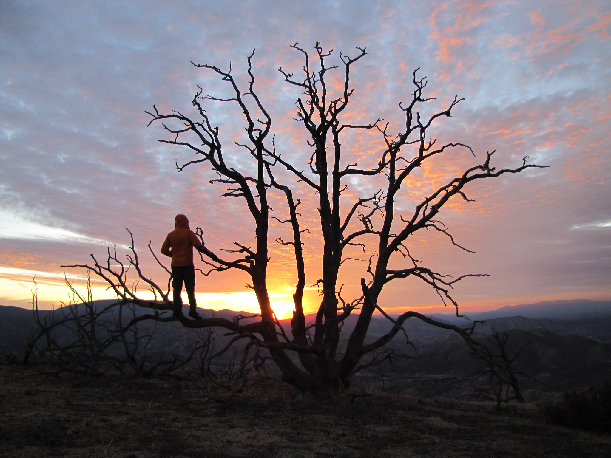
Sawmill Mountain is located in the Sierra Pelona Mountains of the Angeles National Forest, in the vicinity of Lake Hughes. It got its name from the time when loggers once worked the northern side of the mountain.
 FR7N23 which will take you directly to Sawmill
In 1929 a Forest Service fire lookout was established on the peak. By 1934 plans were set to dismantle the 30 foot steel lookout tower since the tower did not fit into the “new detection plan” and by 1935 the lookout was moved to Tejon. Cement blocks are all that remain on the summit.
 Looking towards Sawmill
 Sawmill Mountain lookout remains
 Sawmill 1932
 Warm Springs Topo Map 1936
Check out the full album on Flickr: ![]()