

West Liebre Lookout
Agency: Angeles National Forest
Dates: 1936-1960s
Tower: Battered, enclosed timber tower, 20 ft
Cab: USFS Region 5 1934 standard 14′ X 14′ wood cab BC-301 series
Status: Demolished
Elevation: 5098 ft
Coordinates: 34.7263714, -118.7023117
The West Liebre summit stands at the western end of the Sierra Pelona Ridge in northwest Angeles National Forest. “Liebre” is Spanish for “jackrabbit,” applied here in 1825.

The tower looked like an old windmill tower, and it dominated the Ridge Route country from Castaic into the Gorman region. Lookouts included Herbert Gage (1938) and Harry M. Lewis (1956). Reportedly, the USFS disposed of the structure by fire in the late 1960s.
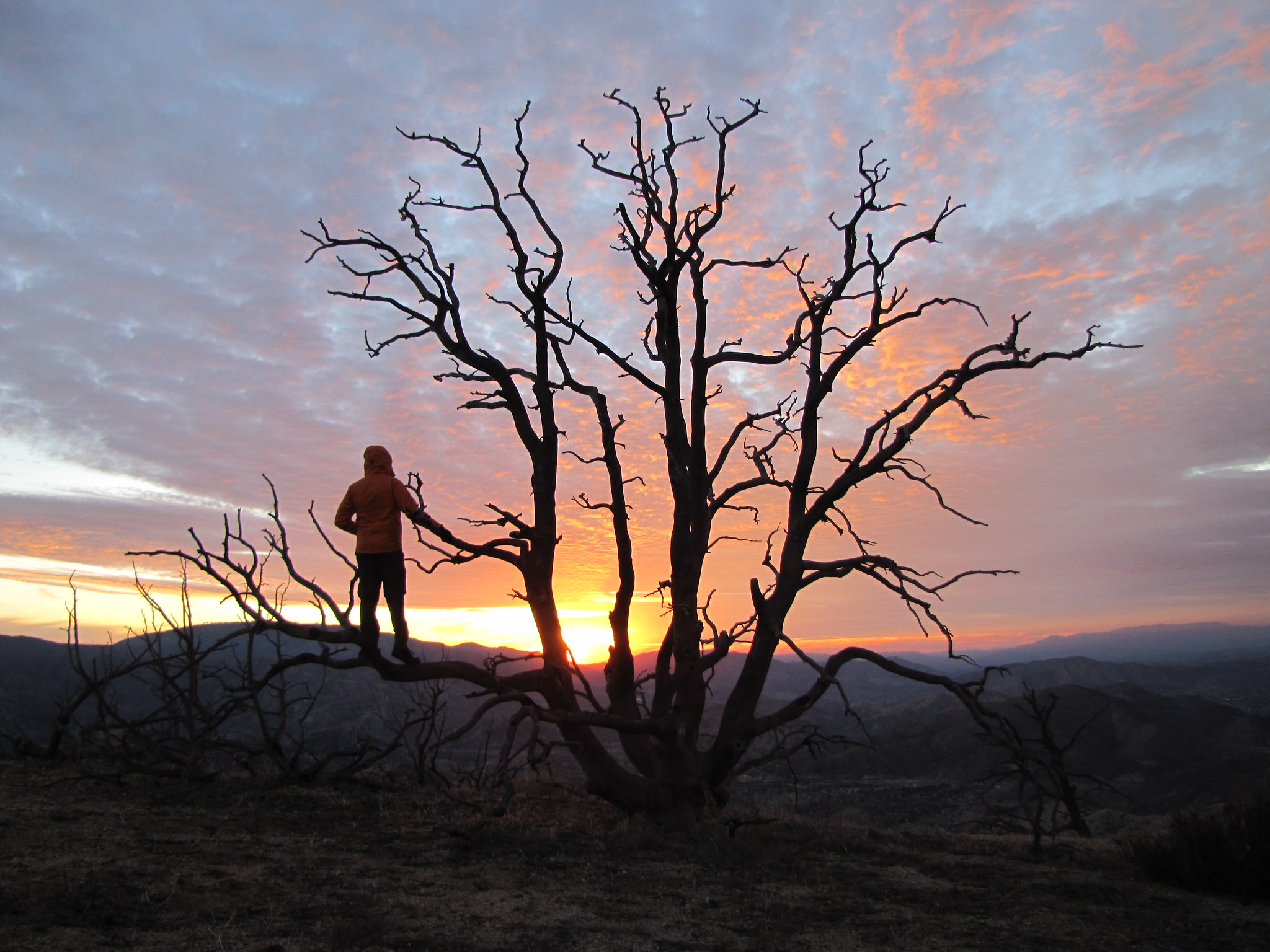
 The Liebre-Sawmill Road (Forest Road 7N23) in spring 2020
 No lookout remains today, only benchmarks placed after the structure was removed
Check out the full album on Flickr: ![]()