

Pacoima Peak Lookout
Agency: LA County Forestry Department (Now LA County Fire Department)
Dates: 1930-1950s
Tower: N/A
Cab: N/A
Status: Demolished
Elevation: 1294 feet
Topo Map: San Fernando
Coordinates: 34.2634, -118.4085
References: Ron Kemnow, Ride the Devil Wind: A History of the Los Angeles County Forester & Fire Warden Department and Fire Protection Districts by David Boucher
In the early 1920s Chief Stuart J. Flintham was spearheading the newly formed LA County Department of Forester and Fire Warden through its formative years of development. In order to serve the firefighting needs of a rapidly growing city, the LACo F&FW expanded by increasing it’s manpower and equipment. They also needed the space. The central warehouse and nursery were relocated to a large parcel of land in Pacoima. The Pacoima warehouse would evolve to serve many uses and “…remains today as a hub of the service and distribution system for the Los Angeles county fire department, and is the center for air operations activities out of nearby Barton heliport.”
 The LACoFD at the Pacoima Warehouse, 1963. Credit: LA Library
 The LACoFD in action at the Pacoima Warehouse, 1963. Credit: LA Public Library
Lookout Tower
In the spring of 1930, the Los Angeles County Forestry Department constructed a lookout tower on Pacoima Peak northwest of the Pacoima warehouse.
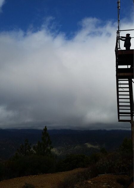
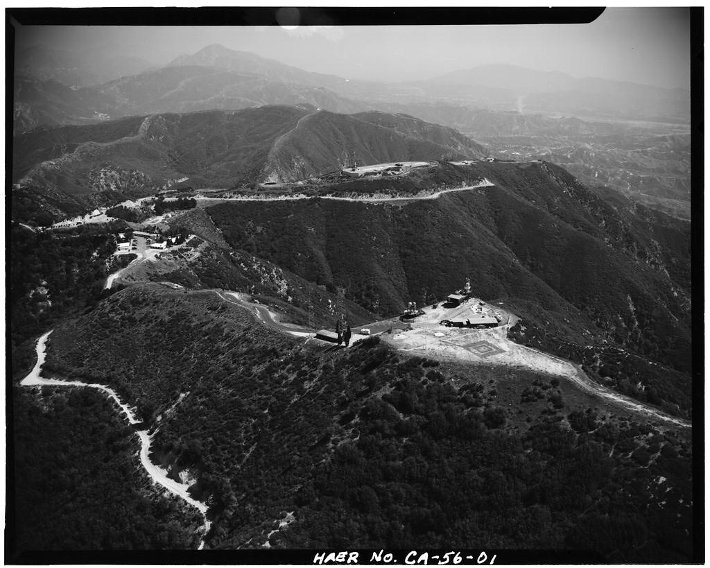
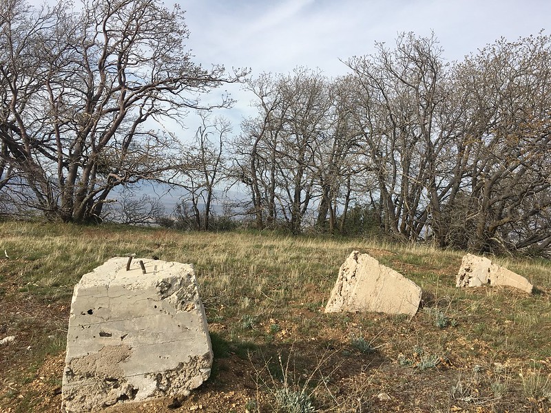
This tower was built so that it may better monitor the area along the foothills of Pacoima and Big Tujunga Canyons. Haze between these canyons impaired visibility from the towers at Oat Mountain and Mt. Lukens. However, by the early 1950s most county towers along the foothills were closed including Pacoima Peak tower. Smog had increased to such a point that visibility was decreased. Details on the tower itself and the staff that once manned it are obscure and so far, no public photographs exist of it. Today, the lookout site is part a hilly background surrounding the Whitman Airport, the LACoFD warehouse, and Jessup Park.
 Location of the Pacoima Lookout in relation to the Whitman Airport and Pacoima Warehouse
 “Forestry Service Observation Tower” obtained from a 1932 county surveyors map
 Grand Opening for the new Golden Valley Gun Club at Roger Jessup Park, Pacoima 1958. The lookout was situated on those back hills. Credit: LA Public Library
 Aircraft above Whiteman Airpark with Pacoima Peak in the background 1960. Credit: LA Public Library
Map. Some maps have labeled the peak as “PACOIMA NO 2”
Check out the full album on Flickr: ![]()